Alpe di Siusi Walks: 9 Best Routes on the Seiser Alm
Nine walks on Europe's largest high-Alpine pasture, from the flat Steger path to the climb from Kastelruth, with the distance, climb and lift for each one.
Quick links
Don't want to read all this?
We've planned 2,000+ hiking trips. Send your dates, fitness and group size — we'll map the route and book every night.



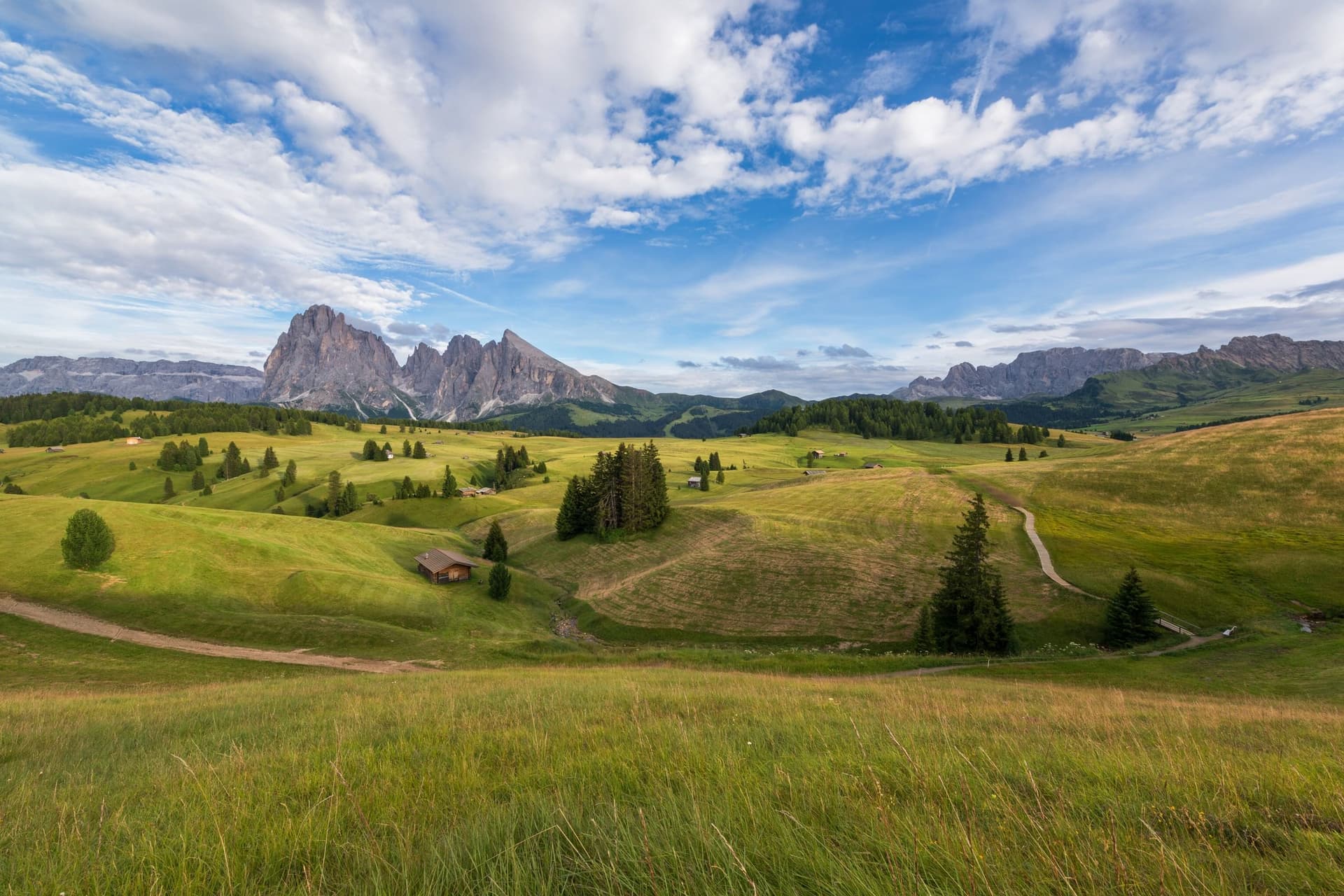
Walking on the Alpe di Siusi means wide farm tracks through hay meadows, the sound of cowbells and wooden huts scattered across the grass. The Sassolungo and the Sciliar stand over the pasture, and lunch is a plate of dumplings on a hut terrace.
The Seiser Alm, as it is called in German, covers 56 km² at around 1,800 m, and the local tourist board calls it the largest high-Alpine pasture in Europe. Two cable cars lift you onto it, and 450 km of marked paths cross it.
These nine Alpe di Siusi walks run from a 1.4 km barrier-free path to the 876 m climb from Kastelruth. For walks in the rest of the range, see our guide to walking in the Dolomites.
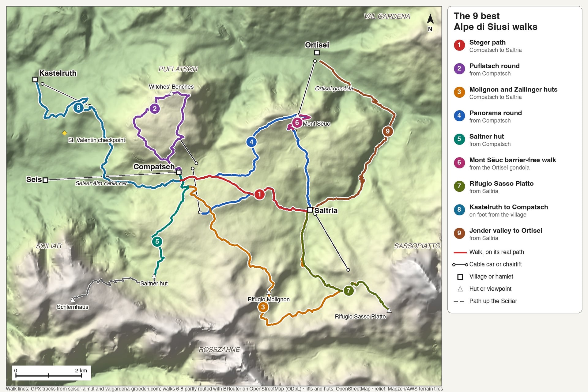
The 9 Best Alpe di Siusi Walks
Most Alpe di Siusi walks start at Compatsch, at about 1,850 m at the top of the Seis cable car, and many end at Saltria, 4.5 km away at 1,680 m, where the Almbus takes you back. Five walks below start at Compatsch, one at the Ortisei gondola, one at Saltria and two lead off the plateau.
Walk | Start | Distance | Climb | Time | Lift or bus |
Hans and Paula Steger path | Compatsch | 4.5 km one way | Gentle, mostly downhill | A little over 1 hour | Almbus back from Saltria |
Puflatsch round | Compatsch | 9.1 km loop | 340 m | 3 hours 10 | Puflatsch lift |
Molignon and Zallinger huts | Compatsch | 15.6 km one way | 444 m up, 622 m down | 4 hours 40 | Almbus back from Saltria |
Panorama round | Compatsch | 15.8 km loop | 546 m | 4 hours 40 | Panorama chairlift |
Saltner hut | Compatsch | About 4.3 km each way | About 260 m there and back | About 2.5 hours return | Seis cable car |
Mont Sëuc barrier-free walk | Mont Sëuc | 1.4 km each way | 138 m | About 20 minutes each way | Ortisei gondola |
Rifugio Sasso Piatto | Saltria | 12 km return | 648 m | 4 hours | Florian chairlift |
Kastelruth to Compatsch | Kastelruth | 8.5 km one way | 876 m | About 3 hours 20 | Marinzen gondola |
Jender valley to Ortisei | Saltria | About 8.4 km one way | About 520 m down | About 2.5 hours | Almbus to Saltria |
1. The Hans and Paula Steger Path: Compatsch to Saltria
Distance: 4.5 km one way, or 9.9 km there and back
Time: a little over 1 hour each way, 3 hours for the return walk
Climb: gentle, between 1,674 and 1,917 m; 333 m up and down on the return walk
Terrain: path 30, a wide and easy track, rated suitable for pushchairs
Start: the church at Compatsch, at about 1,850 m
Lift or bus: Almbus line 11, 4.5 km from Saltria back to Compatsch
Best for: a first walk and pushchairs
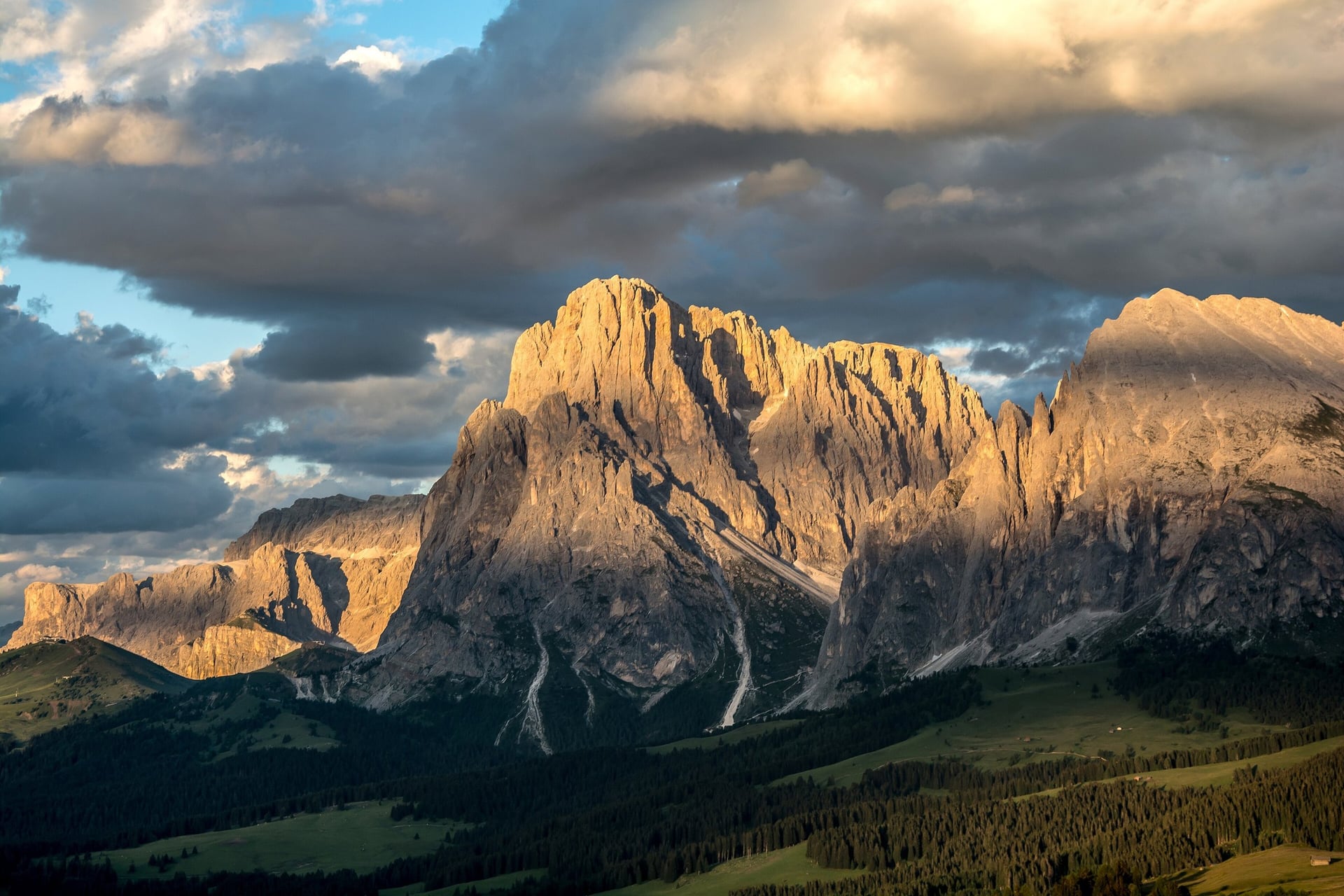
Path 30 is the classic walk across the plateau. It leaves the church at Compatsch, crosses the road at the Hotel Steger-Dellai and follows the forest edge to the Ritsch Schwaige, where the Sassolungo and Sassopiatto fill the view ahead. A paved lane then drops across the meadows to Saltria at 1,680 m, and paths 12A, 12 and 9 make longer variants.
The path is named after Hans Steger and Paula Wiesinger, climbing and skiing pioneers who turned the Dellai hut into a hotel after the Second World War. Their foundation laid it out, boards on the way tell the legend of the Partschott, and the Almbus saves the walk back uphill from Saltria.
2. Puflatsch Round and the Witches' Benches
Distance: 9.1 km loop
Time: about 3 hours 10
Climb: 340 m, between 1,841 and 2,154 m
Terrain: paths 14, PU and 24, paved at first, then meadow paths; the final descent is short but very steep
Start: Compatsch, north on path 14, at about 1,850 m
Lift or bus: the Puflatsch lift, a combined gondola and chairlift, from 22 May to 18 October
Best for: families and a big view
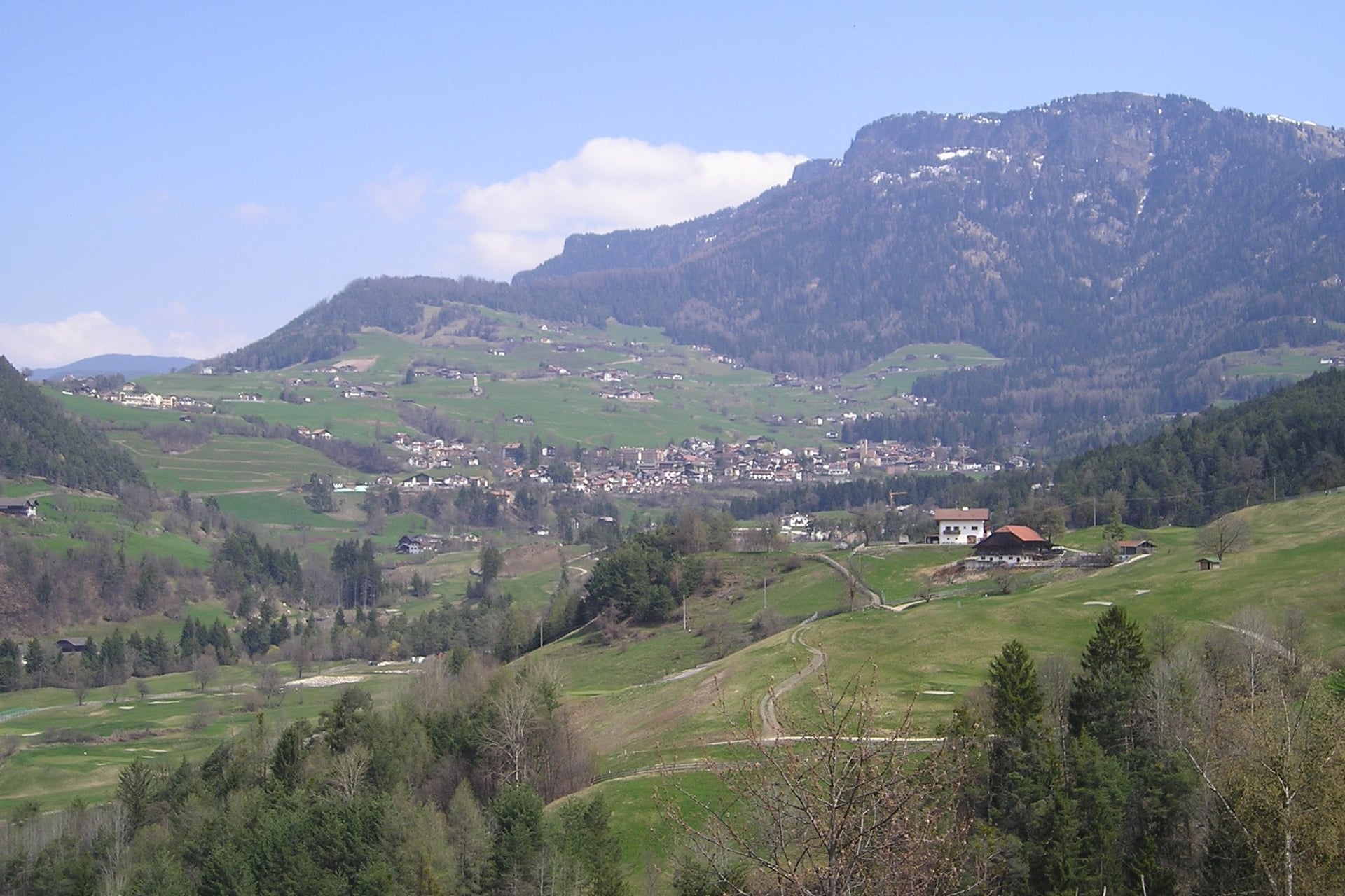
North of Compatsch, the Puflatsch rises to 2,176 m, and this 9.1 km loop circles its broad top. Path 14 climbs past the Puflatsch hut at 1,950 m to the Arnica hut at 2,054 m, where the weather cross looks over Kastelruth, about 1,000 m below. From there the Witches' Benches look straight down on Val Gardena, with the Puez and Odle groups across the valley.
Legend says the Sciliar witches met and danced on these bench-shaped rocks until the Middle Ages. Path 24 returns past the Engelrast platform by the lift top, and the steep, stony shortcut to Compatsch is hard on the knees, so take the lift down if you prefer.
3. Under the Rosszähne: Compatsch to Saltria by the Molignon and Zallinger Huts
Distance: 15.6 km one way
Time: about 4 hours 40
Climb: 444 m up and 622 m down, between 1,668 and 2,132 m
Terrain: paths 7 and 9, meadow paths and farm tracks along the southern rim
Start: Compatsch, via the Hotel Panorama
Lift or bus: Almbus line 11, 4.5 km from Saltria back to Compatsch
Best for: a full day on the quieter southern side
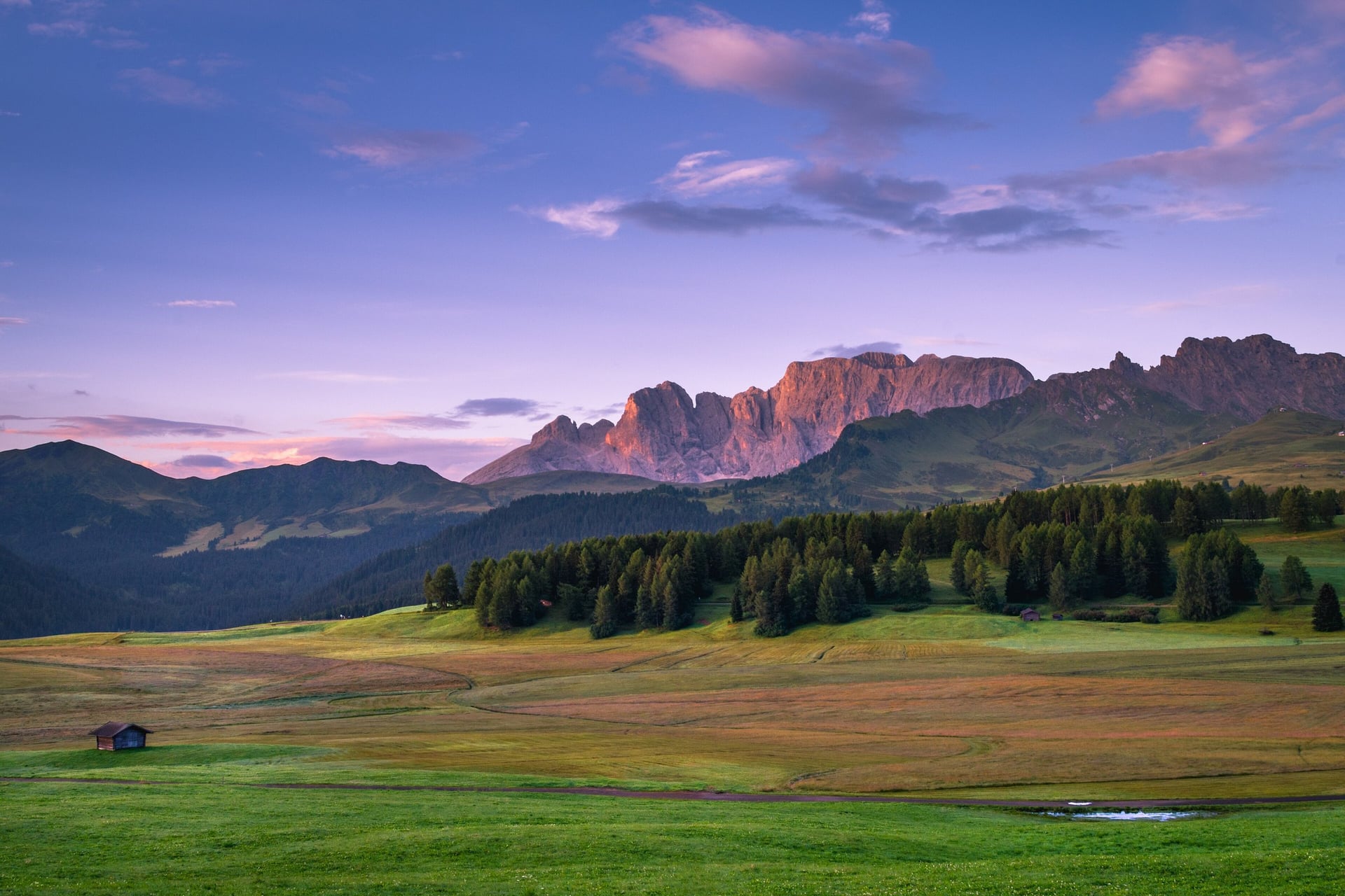
Along the southern rim of the plateau, this walk runs under the Rosszähne, a jagged ridge whose German name means horse's teeth. Path 7 passes the Hotel Panorama and the Rosa Alpina hut, and Haflinger horses graze below the rocks on the way to Rifugio Molignon at 2,054 m.
From Molignon the path turns east to the Zallinger hut, one of the oldest inns on the Seiser Alm, and drops 374 m past the Tirler pastures to Saltria. Rifugio Molignon closes for renovation from 28 September 2026, so plan lunch at Zallinger late in the season. A 12.5 km loop from Saltria reaches the same hut on paths 9, 8 and 7, with 506 m of climb.
4. Panorama Round via Monte Piz and the Giogo
Distance: 15.8 km loop
Time: about 4 hours 40
Climb: 546 m, between 1,680 and 2,017 m
Terrain: paths 30, 6, 6A, 9 and 7, partly paved; graded moderate
Start: Compatsch, at the Seis cable car top station
Lift or bus: the Panorama chairlift to the Giogo, from 22 May to 11 October
Best for: fit walkers who want to cross the whole plateau in a day
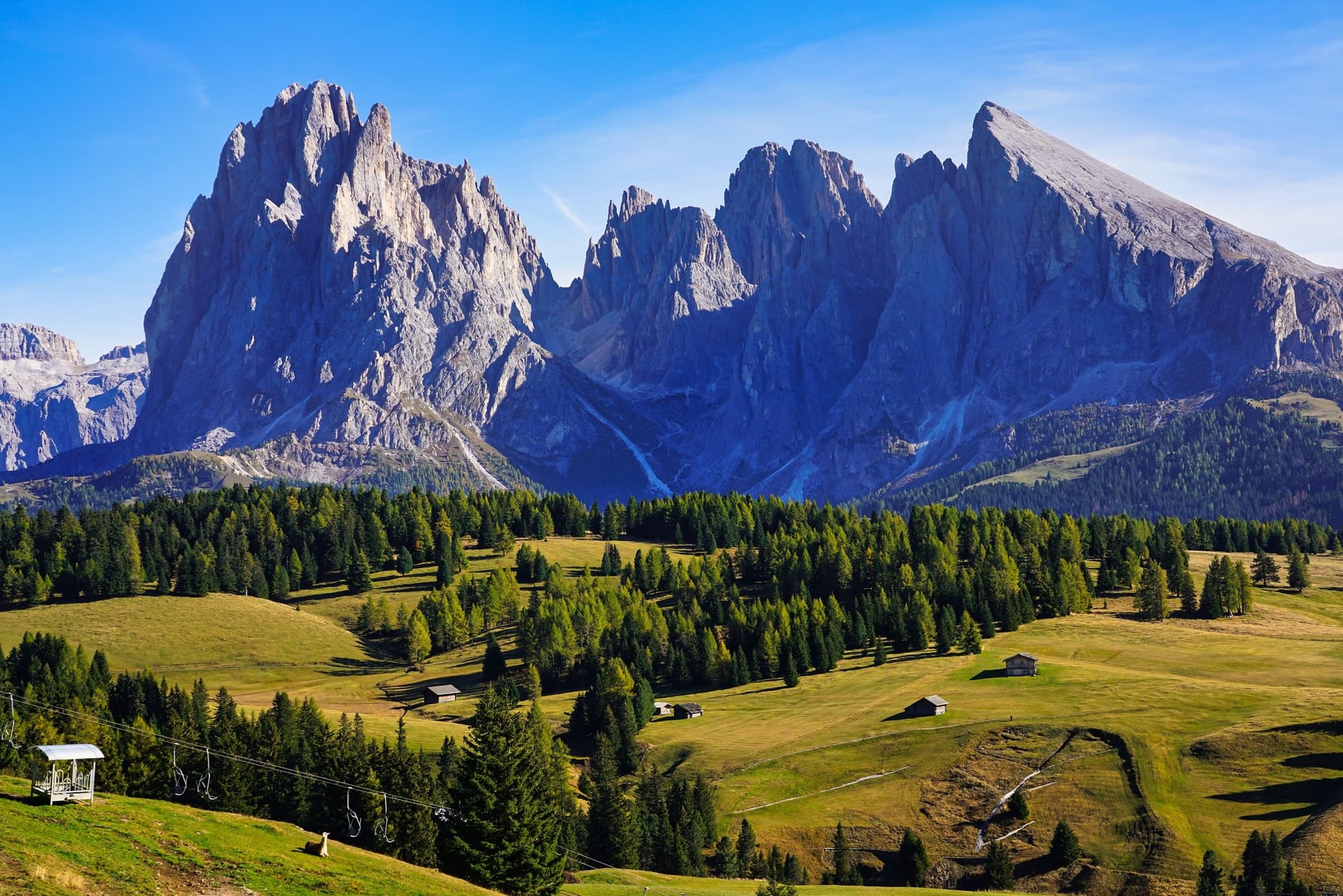
This 15.8 km loop is the classic Alpe di Siusi panorama walk. Paths 6 and 6A climb to Monte Piz, beside the top of the Ortisei gondola at about 2,000 m, where the Odle, Sassolungo and Sciliar appear at once.
From there the loop drops 320 m to Saltria, at 1,680 m the lowest point, and climbs back to the Giogo, the top of the Panorama chairlift at 2,009 m. Path 7 returns to Compatsch, and the Contrin and Schgaguler huts break up the day. Saltria, 4.5 km from Compatsch, has the Almbus if your legs give out.
5. Saltner Hut at the Foot of the Sciliar
Distance: about 4.3 km each way
Time: about 2.5 hours there and back
Climb: about 120 m up and 140 m down on the way out
Terrain: paths 10 and 5 through forest and pasture
Start: Compatsch, at about 1,850 m
Lift or bus: the Seis cable car to Compatsch; no lift on the way
Best for: a half day with the Sciliar cliffs close up
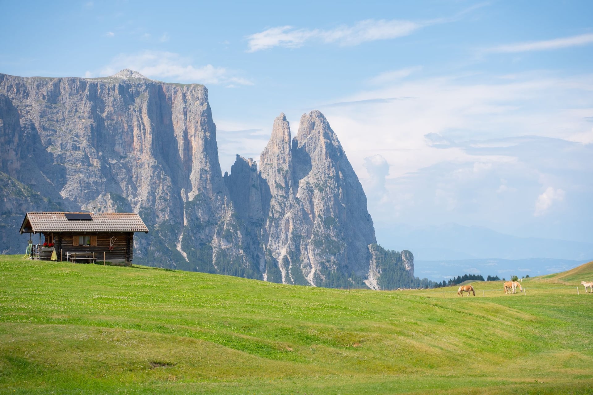
South-west of Compatsch, paths 10 and 5 cross 4.3 km of forest and the Tschapit pastures to the Saltner hut, right under the Sciliar wall. The walk climbs only about 120 m, and the Santner spire and the Sciliar cliffs grow bigger with every step.
Here the easy walking on this side of the plateau ends. Path 1, the old Touristensteig, climbs from the hut in hairpins to the Schlernhaus at 2,457 m. Another Saltner hut stands on path 7A near Saltria, so check the path number on the signposts.
6. Mont Sëuc Barrier-Free Walk to the Schgaguler Schwaige
Distance: 1.4 km each way
Time: about 20 minutes each way
Climb: 138 m, between 1,863 and 2,001 m, downhill on the way out
Terrain: path 9, partly asphalt and partly gravel, suitable for wheelchair users with a companion
Start: Mont Sëuc, the top station of the Ortisei gondola, at about 2,000 m
Lift or bus: the Ortisei gondola; the Al Sole chairlift from 6 June to 16 October
Best for: wheelchair users and a short visit from Ortisei
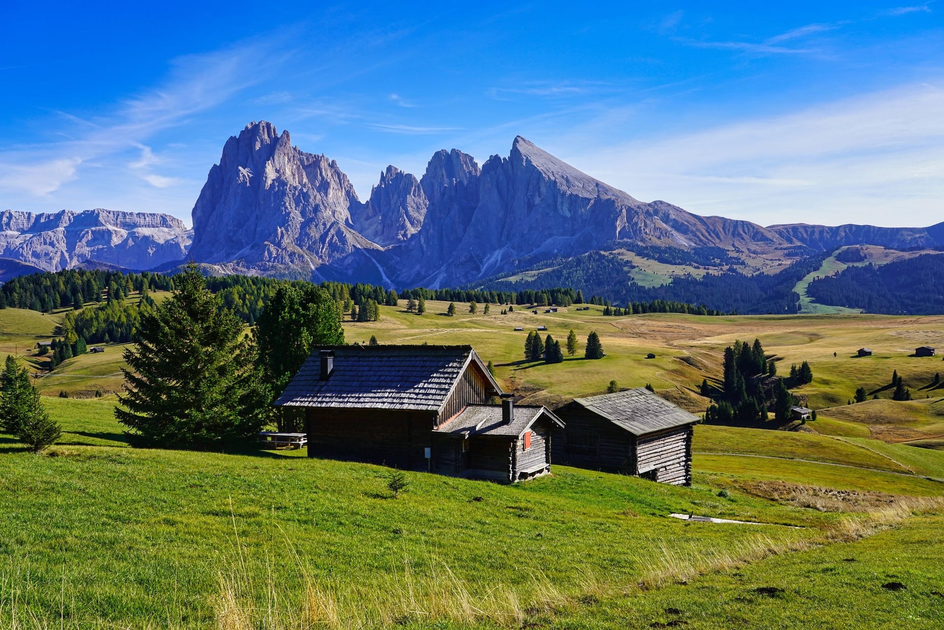
From the Ortisei gondola, you step out at Mont Sëuc on the northern edge of the plateau, and the Val Gardena tourist board marks the path from here as barrier-free. Path 9 turns left and runs down 138 m past the Schgaguler Schwaige, at about 1,900 m, to the Sporthotel Sonne, with the Sassolungo ahead the whole way.
You return the same way, uphill, or ride the Al Sole chairlift back to the top station; it runs from 9:00 to 17:30 with a break at midday. For a longer day, path 9 continues south to Saltria, about 4 km from Mont Sëuc.
7. Saltria to Rifugio Sasso Piatto
Distance: 12 km there and back
Time: about 4 hours
Climb: 648 m, between 1,674 and 2,304 m
Terrain: path 9, a lane and forest track to the Zallinger hut, then a steep path to the hut
Start: Saltria, at 1,680 m, by the Almbus from Compatsch
Lift or bus: the Florian chairlift to the Williams hut, from 30 May to 10 October
Best for: the biggest climb on the plateau itself
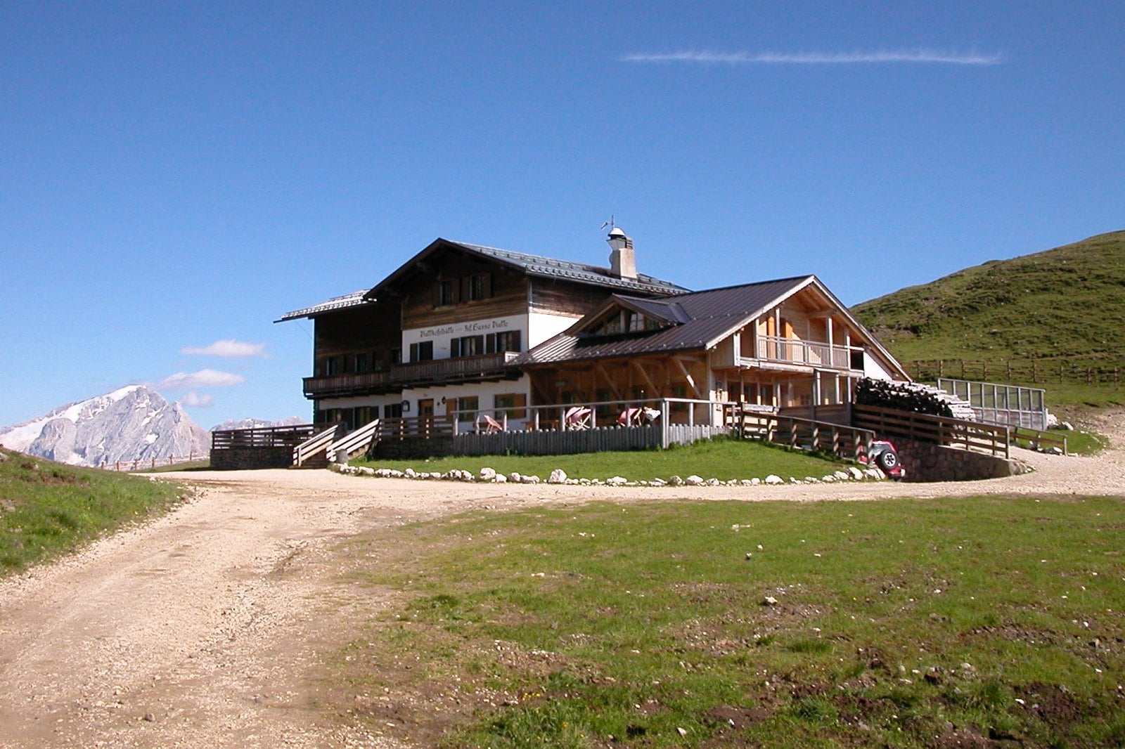
From Saltria, path 9 heads south past the Tirler pastures and climbs through forest to the Zallinger hut at 2,054 m, whose small chapel often holds services on summer Sundays. Above it the path turns steep for about 250 m to Rifugio Sasso Piatto.
The hut stands on the border of South Tyrol and Trentino, and the view south reaches the Marmolada, at 3,343 m the highest Dolomite peak. The Florian chairlift lifts you 400 m to the Williams hut and saves almost 90 minutes of climbing. For the way down, path 7A crosses the Stieralm pastures past the Saltner and Radauer huts.
8. Kastelruth to Compatsch on Foot
Distance: 8.5 km one way
Time: about 3 hours 20
Climb: 876 m up and 100 m down, to a high point of 1,841 m
Terrain: waymarks 6, 11 and 4, from village lanes to steep forest paths and pasture tracks; graded medium
Start: the lower village square in Kastelruth, at about 1,060 m
Lift or bus: the Marinzen gondola, from 1 May to 1 November
Best for: walkers who want to arrive on the plateau on foot
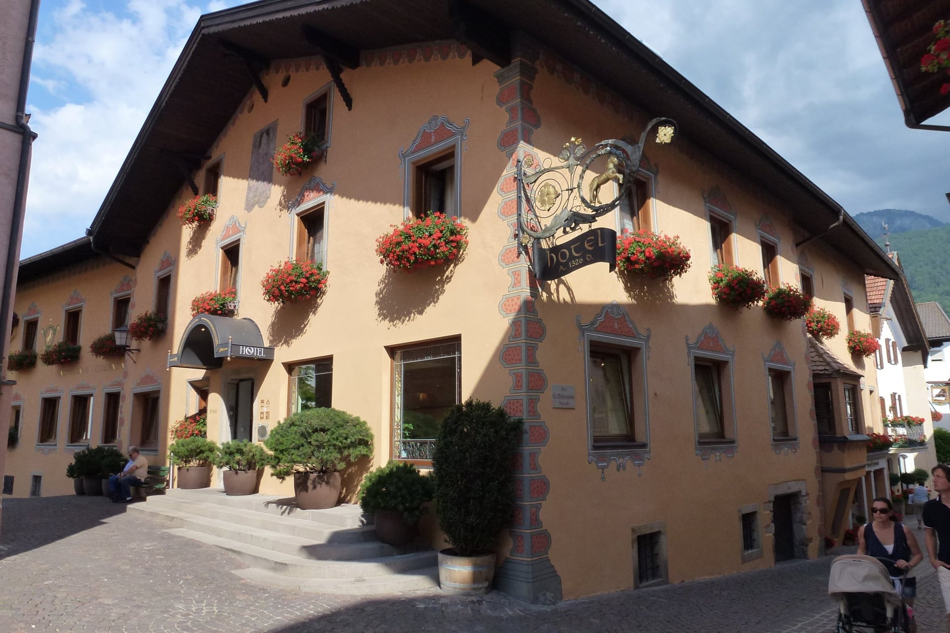
Kastelruth lies at about 1,060 m below the north-west edge of the plateau, and this walk has the biggest climb of the nine. Path 6 leaves the village and climbs steeply through forest for the first 420 m, then crosses the Marinzen pastures to Compatsch.
For a shorter taste, the Marinzen loop climbs 418 m from Kastelruth to the Marinzen hut and back in about 2 hours over 7.4 km. The Marinzen gondola skips the climb if you only want the hut, its playground and its riding stable. From Compatsch, the Seis cable car and bus 172 take you back to Kastelruth.
9. Saltria Down the Jender Valley to Ortisei
Distance: about 8.4 km one way, or 16.8 km as a return walk from Ortisei
Time: about 2.5 hours down; 5 hours for the return walk
Climb: about 520 m of descent, between 1,675 and 1,215 m
Terrain: path 18, a gravel forest road, then a paved lane and the valley path along the Rio Gardena
Start: Saltria, at 1,680 m; the walk ends at Oltretorrente, by the Ortisei gondola
Lift or bus: Almbus line 11, 4.5 km from Compatsch to Saltria
Best for: walking off the plateau into Val Gardena without a lift
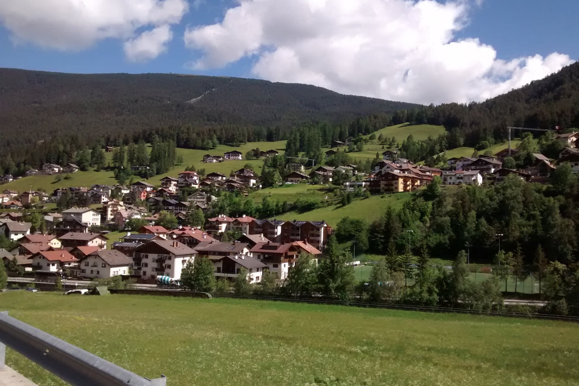
If you want to walk down from Alpe di Siusi to Ortisei, path 18 is the quiet way. It drops north from Saltria on a gravel forest road past the farms of the Jender valley, and you reach Ortisei at 1,236 m without touching a lift.
The last stretch follows the Rio Gardena on the valley path to Oltretorrente, beside the gondola, and trail 8 joins from Santa Cristina. Walked uphill from Ortisei, the route is 16.8 km there and back with 565 m of climb, about 5 hours.
How Hard Are the Walks on the Alpe di Siusi?
Most walks here follow wide farm tracks and meadow paths between 1,680 and 2,300 m, and none of the nine needs a head for heights. The effort comes from distance and a few steep climbs.
Terrain and Walking Times
Every junction has a signpost with path numbers and walking times, and like the times in the list above, they leave out breaks. Alpine clubs plan on 4 km an hour on the flat and 300 m an hour uphill, so the Sasso Piatto walk, 12 km with 648 m of climb, takes about 4 hours.
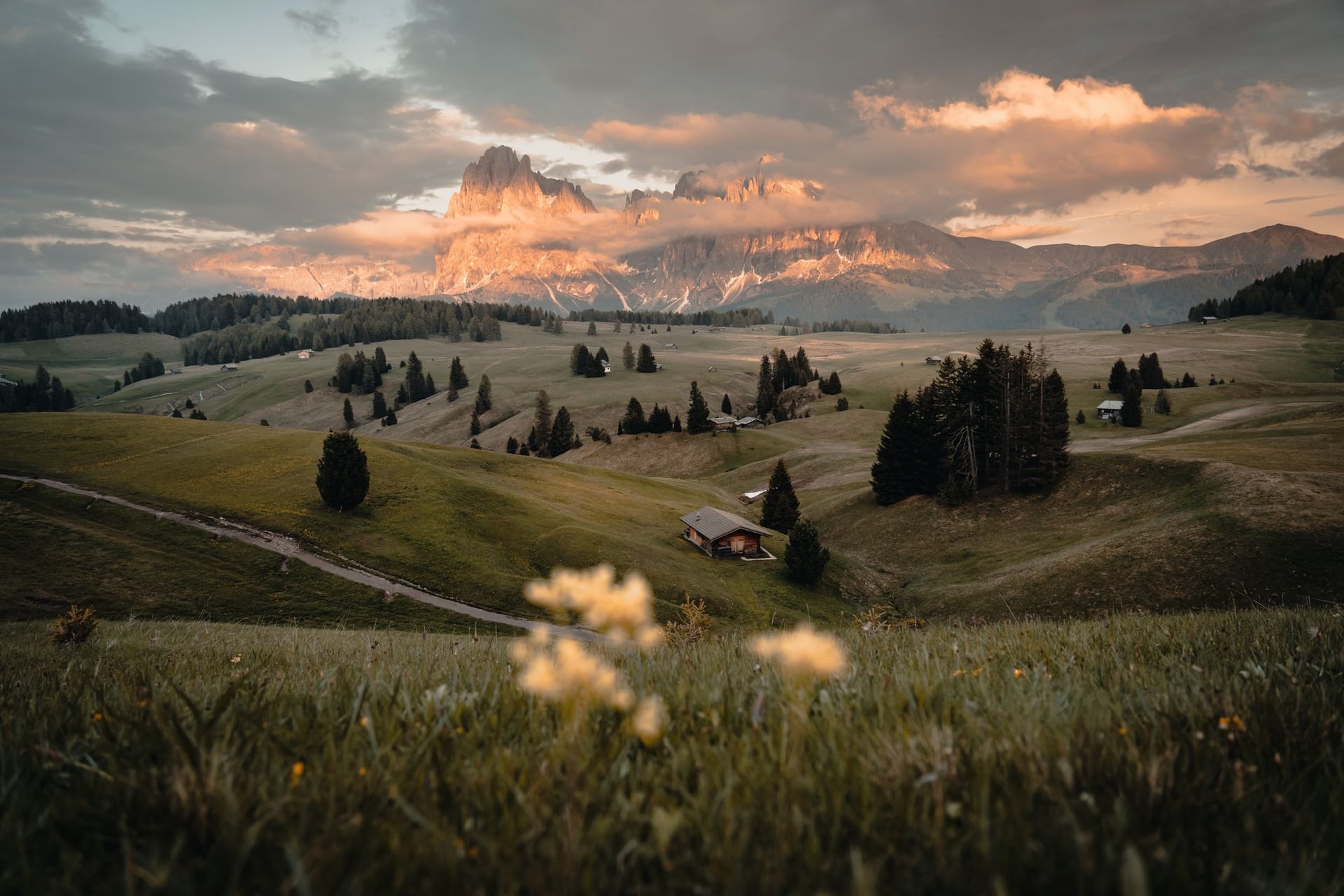
The steepest ground is the forest above Kastelruth, the last pull to Rifugio Sasso Piatto and the stony descent from the Puflatsch. Add an hour for lunch at a hut: the Seiser Alm has 56 of them.
Easy and Family Walks
For an easy Alpe di Siusi walk, take the Steger path, which is rated suitable for pushchairs, or the barrier-free path from Mont Sëuc. Both are well under 10 km and end at a bus stop or a lift, so nobody has to walk back.
Children born in 2018 or later ride the Seis cable car free, under-8s ride the Ortisei gondola free with paying parents, and under-6s travel free on the Almbus. The Puflatsch round is graded easy and suitable for children apart from its last descent. Our guide to easy walks in the Dolomites has more.
Safety on the Open Meadows
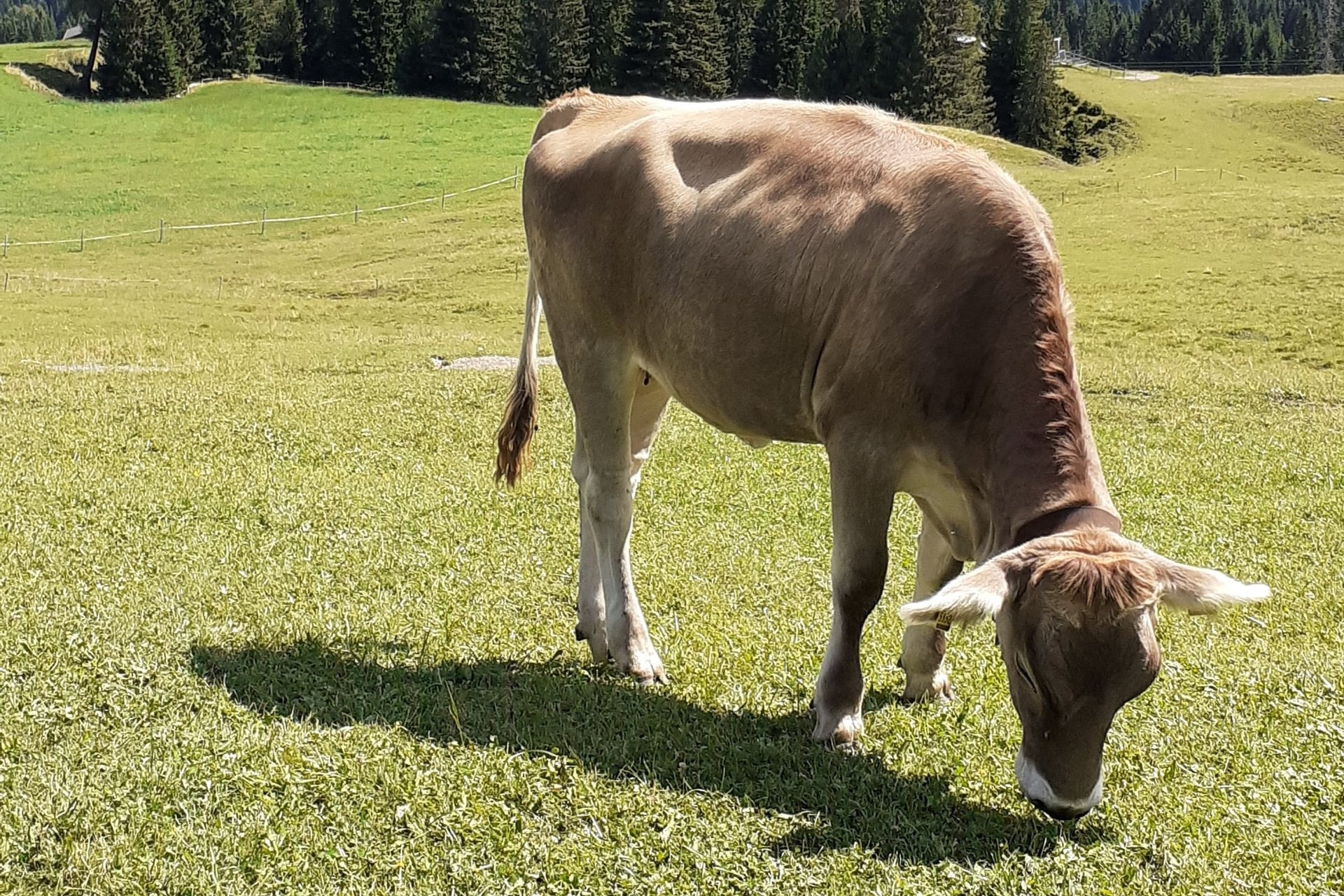
Cows and Haflinger horses graze the pastures through the summer, and the cattle come down in early October. Walk round the herds, keep dogs on a lead and stay on the marked paths, which run between fences in places.
Afternoon thunderstorms are common in July and August, and on open meadow you are often the highest point around, so start early and head for a hut when the sky darkens. In an emergency, call 112.
Harder Routes Above the Plateau
Where the meadows end, the rock begins. From Compatsch, paths 10, 5 and 1 climb past the Saltner hut to the Schlernhaus (Rifugio Bolzano) on the Sciliar: 17 km with 934 m of climb in about 6 hours. The hut sits at 2,457 m and has 110 beds, 30 of them in rooms, for walkers who want the sunrise from the top.
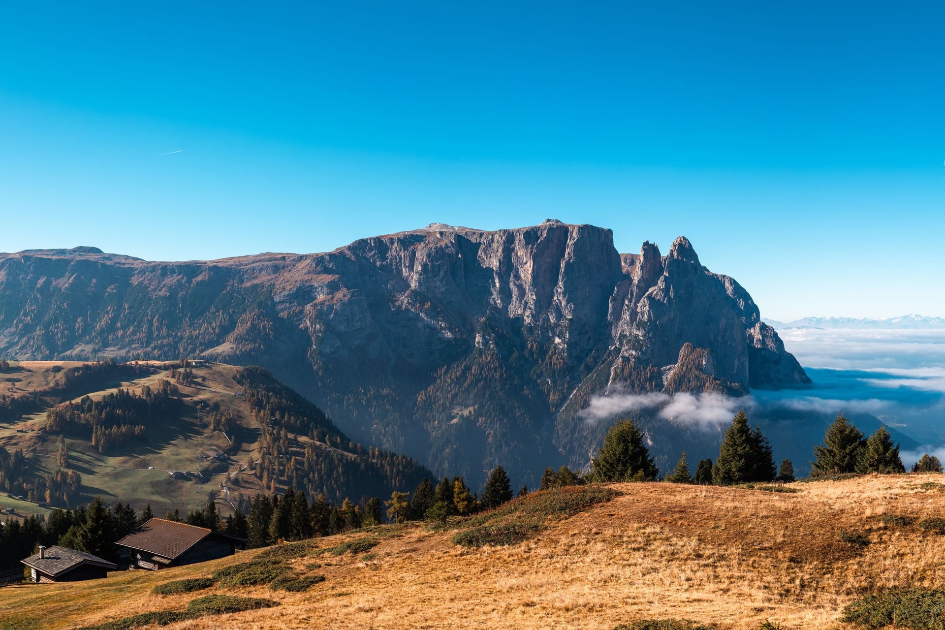
The Denti di Terrarossa loop crosses the Rosszähne at a gap of about 2,500 m by the Tierser Alpl hut, 17.1 km with 781 m of climb and a very steep descent. These are mountain hikes on steep, rocky ground, and hut-to-hut routes such as the Alta Via 1 go further still. Our sister company covers them in its guide to hiking in the Dolomites.
Getting Up to the Alpe di Siusi Without a Car
Two cable cars climb onto the plateau, one from Seis on the west side and one from Ortisei in Val Gardena, and in summer they are faster and simpler than driving.
Cable Cars, Buses and Tickets
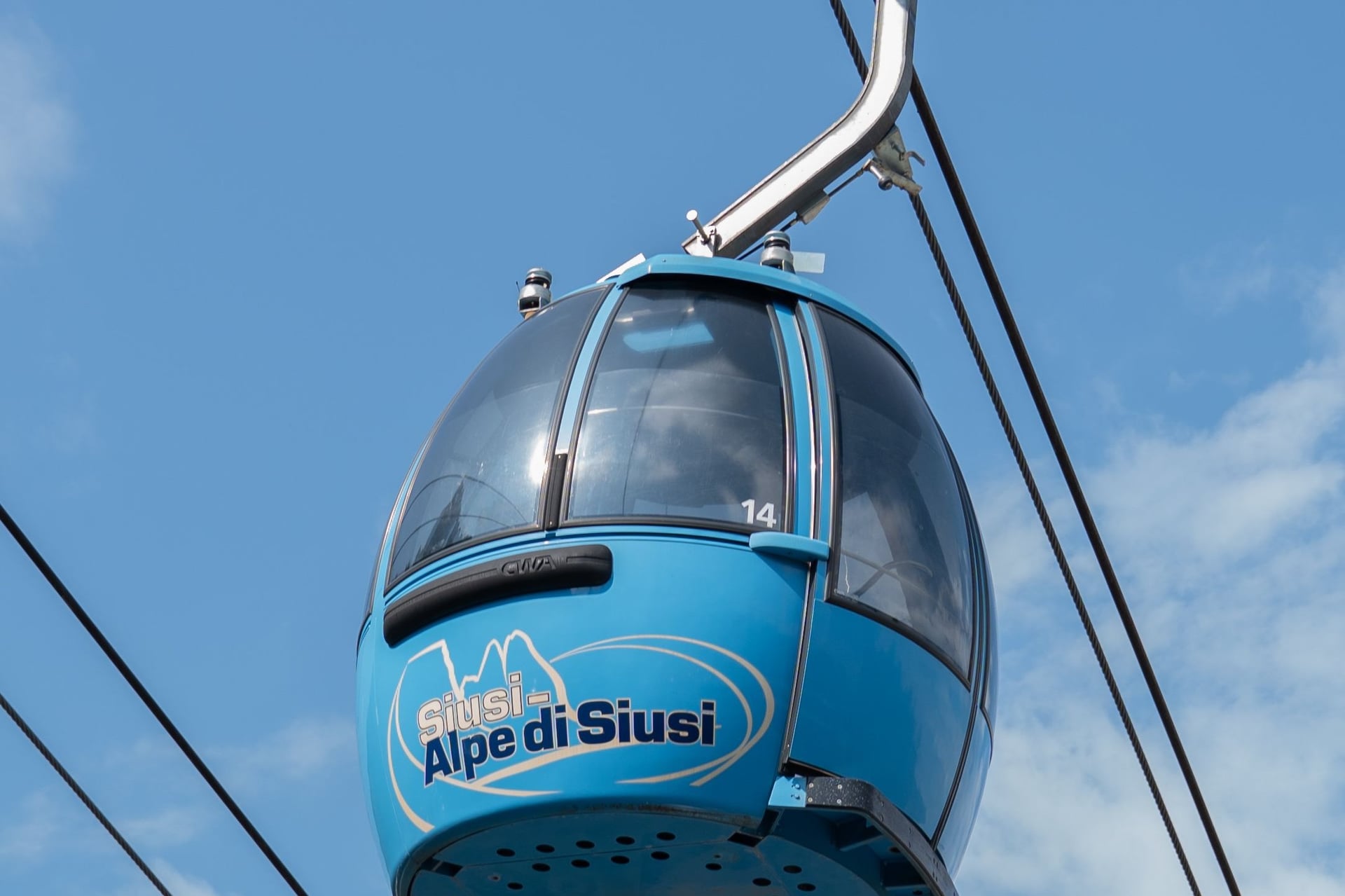
The Seiser Alm cable car takes 15 minutes from Seis to Compatsch, where most walks start, and runs every day from 8:00 to 18:00, until 19:00 in midsummer. The Ortisei gondola lands at Mont Sëuc, at about 2,000 m on the northern edge, and the Almbus links Compatsch with Saltria.
Lift or bus | Route | Season 2026 | Adult fare |
Seiser Alm cable car | Seis to Compatsch, 15 minutes | 22 May to 2 November | €21 single, €30 return |
Ortisei gondola | Ortisei to Mont Sëuc | 1 May to 2 November | €29 single, €41 return |
Seiser Alm Express, line 10 | Kastelruth and Seis to Compatsch | Summer timetable | €30 return, sold on board |
Almbus, line 11 | Compatsch to Saltria | Summer timetable | €4 single, €7 with return |
Puflatsch lift | Compatsch to the Puflatsch | 22 May to 18 October | €8.50 single, €12.50 return |
Florian chairlift | Saltria to the Williams hut | 30 May to 10 October | €17 single, €22 return |
A single ticket is often enough, because the Steger path, the Jender valley and the Kastelruth path all end where another lift or bus takes over. The Südtirol Guest Pass and the Mobilcard are not valid on lines 10 and 11.
Road Closure and Parking Booking
While the cable car runs, the road from Seis to Compatsch is closed to private cars uphill from 9:00 to 17:00, and you may drive down at any time. From mid-April to mid-May and from early November to early December the cable car closes and the road opens all day.
From 29 June 2026 both car parks, P1 at Spitzbühl and P2 at Compatsch, must be booked online up to six days ahead. The booking is your permit at the St. Valentin checkpoint, and you must enter the car park by 9:30.
Parking on the plateau is banned from 23:00 to 5:00, and so are camping and sleeping in vehicles. Hotel guests on the plateau get a permit from their host and may drive up at any time on arrival day.
Getting to Seis, Kastelruth and Ortisei
Bus 170 runs every 30 minutes from Bolzano and Brixen to Seis and Kastelruth, a ride of 30 to 50 minutes, and stops at the Seiser Alm cable car. Line 172 links the cable car with Kastelruth and Val Gardena.
For Ortisei, bus 350 runs every half hour from the railway stations at Ponte Gardena and Chiusa, and the gondola valley station is 5 minutes' walk from Piazza S. Antonio. Flights and transfers are in our guide on how to get to the Dolomites.
Best Time to Walk the Alpe di Siusi
The season follows the lifts: the Ortisei gondola opens on 1 May, the Seis cable car on 22 May, and both close on 2 November in 2026. The figures below are averages from the Zallinger weather station at 2,051 m.
Late May: crocuses cover the meadows for one to two weeks straight after the snow melts, and the huts start to open
June: the meadows are in flower, with days of 15.1 °C and nights of 6.7 °C
July and August: the warmest and busiest months, 17.1 °C by day in July, but also the wettest, with 198 mm of rain in July and frequent afternoon storms
September: 12.2 °C by day and half the July rain, 99.6 mm, with the cattle still on the pastures
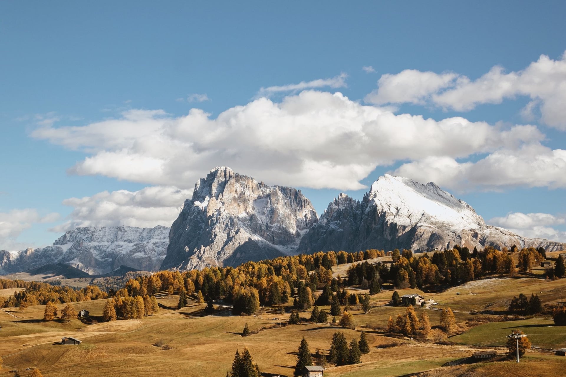
October: 8.6 °C by day and 1.8 °C at night; the cattle come down early in the month, the larches turn yellow, and the Panorama and Florian lifts close on 11 and 10 October
For most walkers June and September are the best months, with long days, open huts and fewer people than in high summer. Month-by-month weather for the whole region is in our guide on when to visit the Dolomites.
Know Before You Arrive
A walking day here depends on where you sleep, what the lifts cost and how fast the weather changes on open ground.
Where to Stay
Sleeping on the plateau saves the daily trip up. Compatsch, at about 1,850 m beside the cable car, and Saltria, at 1,680 m, have hotels, and their guests may also drive to Compatsch before 10:00 and after 17:00 during the stay.
Below the plateau, Kastelruth (about 1,060 m), Seis (about 1,000 m) and Ortisei (1,236 m) have more beds and restaurants. Accommodation in Kastelruth, Seis, Völs and Tiers includes the Südtirol Guest Pass, which covers the buses and brings a cheaper Combi Card. More advice is in our guide to accommodation in the Dolomites.
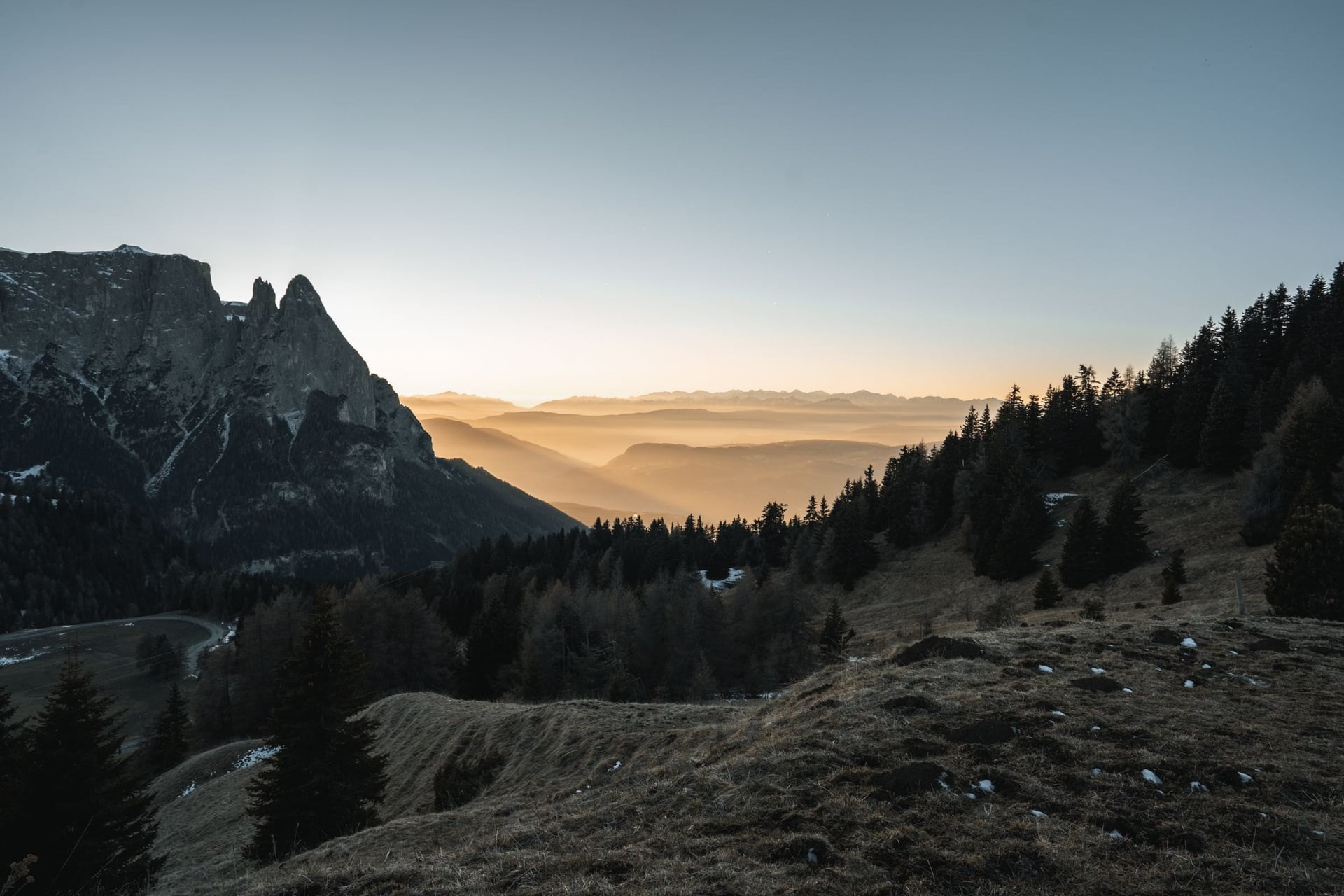
A few huts on the walks also have beds:
Rifugio Molignon (2,054 m): 17 rooms and a breakfast buffet on walk 3; closed for renovation from 28 September 2026, reopening on 18 December
Rifugio Sasso Piatto (about 2,300 m): rooms on walk 7, booked by email only
Schlernhaus (2,457 m): 110 beds on the Sciliar, 30 in rooms and 80 in dormitories
How Much a Walking Day Costs
The walks are free; a day's cost is the lift up, the bus back and lunch at a hut, and multi-day cards pay off from the third ride.
Seis cable car: €30 return, €21 single, €65 return for a family
Ortisei gondola: €41 return, €29 single
Combi Card: €73 for three return trips within 7 days, or €94 for 7 days of the cable car, line 10, shuttle buses and the Almbus
Seiser Alm Card Gold: €136 for 7 days, adding the Puflatsch, Panorama, Florian, Spitzbühl and Marinzen lifts; valid from 1 June to 11 October
Almbus passes: €11 for 3 days, €17 for 7 days
Parking: €30 a day at Compatsch, the same as a cable car return, or €15 at Spitzbühl
What to Pack
On the Seiser Alm meadows there is little shade, and the weather changes fast at 2,000 m: the Zallinger station averages 17.1 °C on a July day and 8.4 °C at night.
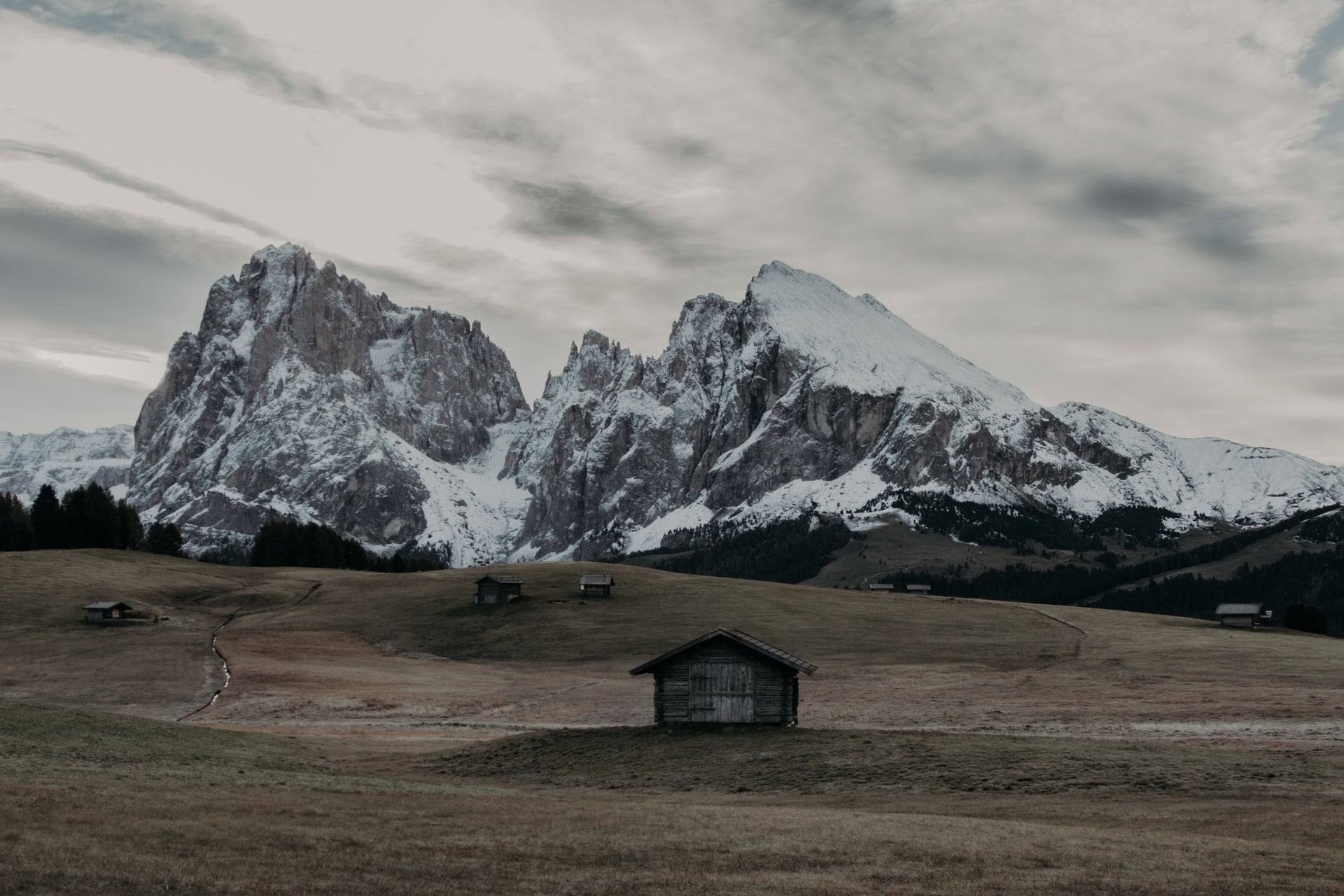
For any day walk here:
Walking shoes with ankle support, for wet grass and stony descents
A waterproof jacket and a warm layer, for afternoon storms and cold evenings
Sun hat, sunglasses and sun cream, because the open meadows give little shade
Water and snacks, although the plateau has 56 huts
For the Alpe di Siusi:
Walking poles for the steep descent from the Puflatsch and the 876 m between Kastelruth and Compatsch
Some euros in cash for hut bills and bus tickets bought on board
A walking map or offline app, as 450 km of marked paths meet at many junctions
A lead and a muzzle for dogs, which both cable cars require
Can You Walk Across the Alpe di Siusi From Inn to Inn?
Yes, and it is the best way to see the whole plateau. Walks 8, 1 or 3 and 9 link into a crossing from Kastelruth to Compatsch, Saltria and Ortisei. On your own, the beds on the plateau are the hard part: they are limited and book up early, and you carry your bags between them.
Sleeping up there also solves the road rules, because plateau hotels give their guests a driving permit and you never queue for the cable car. Our self-guided Alpe di Siusi Inn to Inn walks that line:
Duration: 7 days / 6 nights, June to September
Route: Kastelruth to Ortisei, with six walking days of 6.5 to 15.5 km
Nights: in Kastelruth, Compatsch and Saltria, in 3-star hotels with breakfast
We book the hotels, move your luggage between them and give you a GPS navigation app and a digital guidebook. With only a long weekend, Seiser Alm Highlights crosses the plateau in 3 days with nights in Compatsch and Saltria; luggage transfer is an optional extra there. Ask us about dates for next summer.
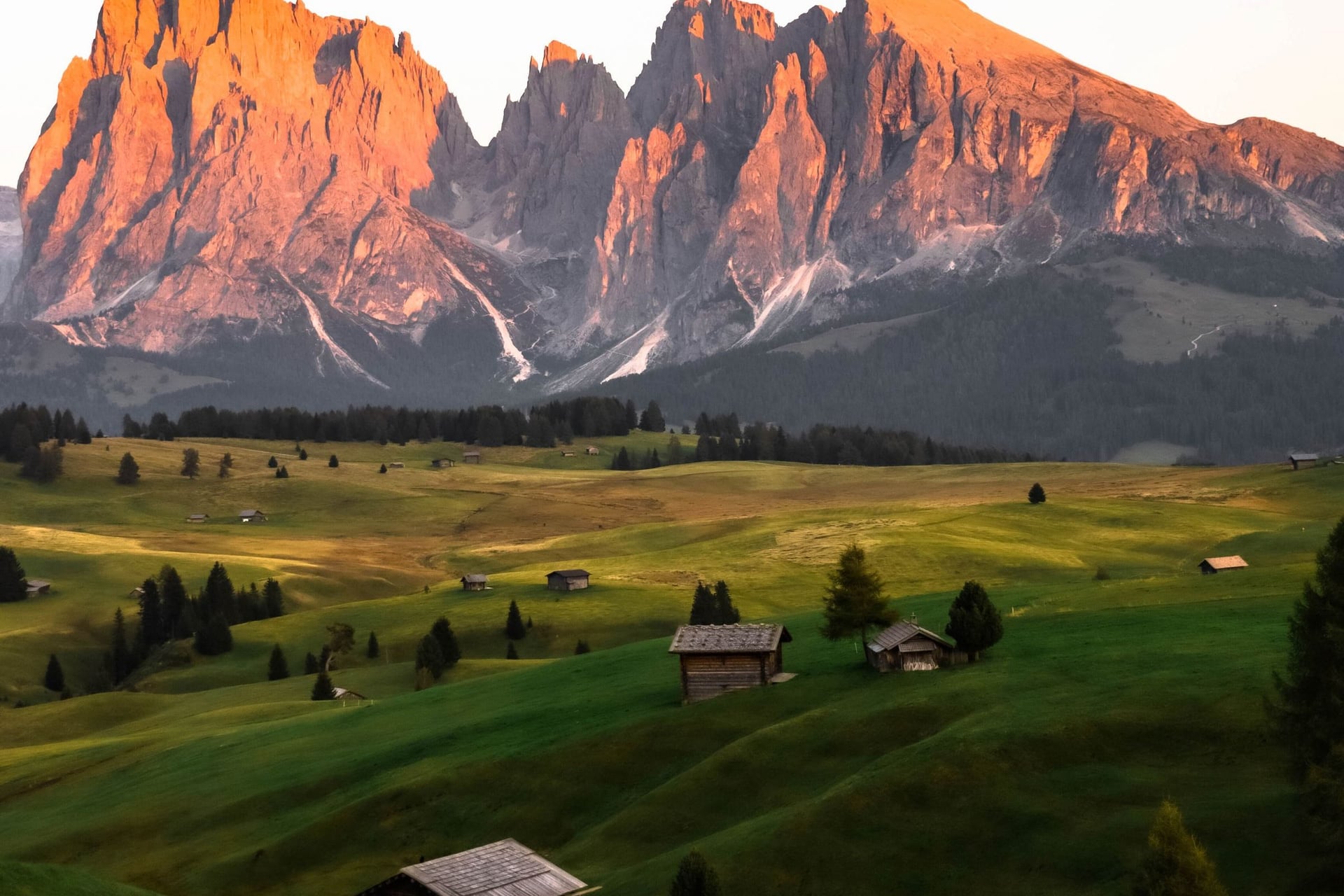
Stay up on the plateau for at least one evening. When the last cable car has gone down, the Sassolungo and the Sciliar turn red above empty meadows.
Frequently Asked Questions



Plan with a hiking expert
Free advice from a team that knows these routes inside out - real people, not a bot

Hassle-Free
We handle route planning, accommodations, transfers, and anything else you prefer not to deal with, so you can enjoy a carefree hike.

Book With Confidence
We are a financially protected company, fully bonded and insured, keeping your money safe and allowing you to travel with confidence.

Tried & Tested Adventures
Only the best hiking adventures in Slovenia, cherry-picked by our local team with an in-depth knowledge of the region.

Unbeatable Support
Our 24/7 customer support is where we show our passion, bringing you a better experience by making your well-being our number one priority.
